With huge population growth expected in the coming decades, Aotearoa’s largest city is in urgent need of a transport shake-up. So what is being done?
This content was created in paid partnership with Auckland Transport.
Auckland is getting bigger and busier than ever before. It’s already New Zealand’s most populous and economically vibrant region, but with another 300,000 people set to be added by 2028, the city’s infrastructure is in desperate need of adapting to this new reality – and fast.
Upgrading our transport network is a key component to this. Our roads, railways, walkways and cycle paths all need to work together to keep the city moving, which is easier said than done, of course: Aucklanders have long been reliant on cars to get around, and building new infrastructure is undoubtedly time-consuming and expensive, with many competing visions for how the future of the city should look.
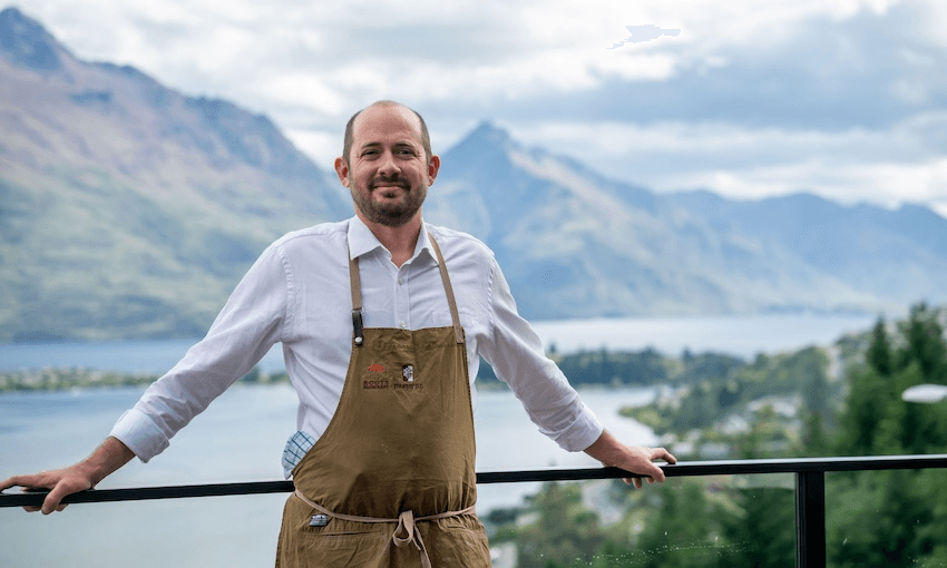
Ultimately, Aucklanders all want to live in a city that’s accessible, affordable and efficient to move around in. There are dozens of projects underway right now with the goal of improving how our transport ecosystem flows, several of which Christian Messelyn, portfolio delivery director at Auckland Transport (AT), has had a hand in shaping since taking on the role in the last few years. Here, he helps explain what’s going on across the city, why, and what we can expect to see in the years to come.

Why do we need to grow our transport ecosystem?
There are three key reasons for this, the first of which has to do with population and mobility growth. More people living in Auckland means more people needing to move around, and if we simply keep adding more cars onto our roads, the city’s traffic problems will only get worse.
Auckland’s geography and existing infrastructure makes it difficult to widen roads or build new bridges across the harbour, says Messelyn, which is why it’s important to find ways to move as many people as possible while taking up the minimum amount of space.
“Our goal at AT is for everyone to have the opportunity to move. People like tradies, couriers, those moving to and from places where there isn’t any public transport available, for example, need to be able to use the roads, which is why we need to free up space by maximising and optimising the use of land.”
The second reason is to do with climate change and environmental concerns. The transport sector is a significant source of CO2 emissions, making up almost half of New Zealand’s emissions between 1990 and 2018. Reducing the amount of CO2 we produce is a key goal for AT, and a large part of achieving that is by reducing the number of vehicles on our roads by offering more efficient transport options.
Lastly, we need to grow our transport ecosystem to improve safety on our roads. From 2013-2017, the number of people who died or were seriously injured on Auckland’s roads increased by 65%. This is something which safer and more readily available public transport, cycling and walking options can help to reduce.
What role does the City Rail Link play in all this?
Definitely the most ambitious and high profile project underway right now is the City Rail Link (CRL) – New Zealand’s first completely underground railway line built beneath Auckland’s city centre. Two 3.45km rail tunnels will link Britomart and the city centre with the existing western line near Mt Eden, with two new stations added near Victoria/Wellesley Street and Karangahape Road. Set for completion in late 2024, the CRL is expected to double the number of people who can access Auckland CBD within 30 minutes. When fully operational, the link will have capacity for up to 54,000 passengers an hour during peak times – the rail equivalent of an additional 16 lanes of road or three Auckland Harbour Bridges.
“Some people think it’s just a loop for the people living in the CBD but it’s absolutely not that. When the Auckland Harbour Bridge was built, the people of Northcote Point and Ponsonby weren’t the only beneficiaries of that link – it gave people all across Auckland a quicker way to cross the harbour,” says Messelyn.
“In the same way, the CRL will have ripple effects all across the rail network. For example, on the Western Line, people will gain 17 minutes each way on their daily commute. So even though we call it the City Rail Link, it’s more like a network-wide shipping project than a loop in the CBD.”

What else is being done in addition to the CRL?
Rail plays an important part in Auckland Transport’s vision for the future, with the CRL serving as the pivotal link. But there are also a number of other projects underway to support the rail network’s improvement and expansion. These include:
The Third Main (Wiri to Quay Park): The rail line between Westfield and Wiri is the busiest part of Auckland’s rail network with hundreds of passenger and freight trains passing through each week. To ease congestion, a third rail track alongside the two existing ones are being built to act as a “passing lane” for trains. The first part of the project is expected to be completed later this year and fully completed by late 2023.
Electrification (Papakura to Pukekohe): Modern electric trains will finally replace the old diesel trains running from Papakura to Pukekohe, making it a cleaner, quicker and more convenient journey for passengers who will no longer have to switch trains at Papakura station. The project is expected to be completed by late 2024.
Southern stations (Drury and Paerata): Announced last year, while plans to build three new stations – two in Drury and one in Paerata – are still in early stages, they’re set to be “a game-changer” for the region, according to Messelyn. Combined with the electrification of the Papakura-Pukekohe route which will pass through all three stations, the project will service future urban developments planned for south Auckland where an extra 120,000 people are expected to live in Takanini, Ōpāheke, Drury, Paerata and Pukekohe in the next 30 years,
“Unfortunately there’s often been a disconnect between development and public transport connections, so for the first time, we’re building these stations before these developments have happened,” says Messelyn. “That way, if people decide to move to the area, they can do so knowing they’ll have an alternative to a private car if they want to go to the CBD or elsewhere in the city.”
What about other forms of transport, like buses or bikes?
For cyclists and pedestrians, there’s the Glen Innes to Tāmaki Drive shared path which is currently in its latter stages of construction. Once completed, the 7km-long path will connect Auckland’s eastern suburbs to the city centre and solve a missing link in Auckland’s cycle network, connecting with cycle routes to Point England, the shared path along Tāmaki Drive, and the Tāmaki Drive Cycle Route.
Further connecting east Aucklanders will be the Eastern Busway connecting Botany, Pakuranga and the surrounding suburbs to the rail network in Panmure. When the busway is complete, passengers will be able to travel by bus and train between Botany and Britomart in 40 minutes – approximately 20 minutes quicker than it is now. The project is still in its early stages, with construction of the Pakuranga to Botany route due to start in 2022 and to be completed in late 2026.
To learn more about the dozens more projects in various stages of planning and development across Auckland, visit the Auckland Transport website here.